 vesseltracker.com
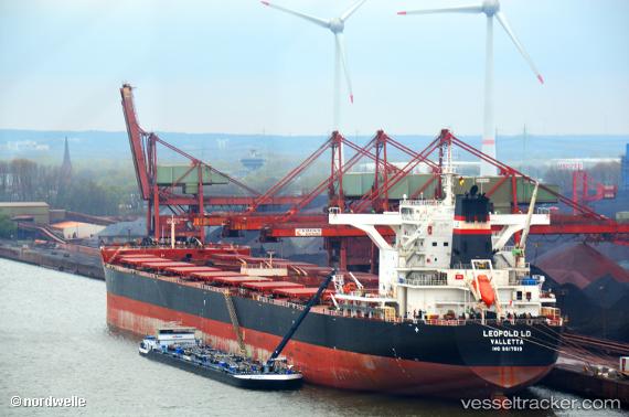
 TOMINI K2
Current Status
Where is the vessel?
TOMINI K2 is currently in 64 nm N of Tami Island, based on AIS data received about 1h ago.
Latest AIS update:
Current position: 5.74167° S, 147.60167° E (64 nm N of Tami Island)
Average speed (last 7 days): Loading…
Average speed (last 30 days): Loading…
Vessel profile: TOMINI K2 is a Cargo with dimensions m x m.
This page combines live AIS, route history, probable destination signals, nearby traffic, and port activity for practical vessel monitoring.
The current position of vessel TOMINI K2 is -5.74167 lat / 147.60167 lng. Updated: 2026-05-14 07:35:01 UTCNearest reference points:
- Near Lae
- 42 nm E of Tami Island
Currently sailing under the flag of Marshall Islands ![]()
Details:
Live Vessel TOMINI K2 Analytics (details, animations, etc.)
Recent AIS points (UTC):
2026-05-14 03:58:57 UTC · -5.12167, 147.27333 · SOG 11 kn · COG -1°2026-05-14 06:01:58 UTC · -5.47667, 147.46333 · SOG 12 kn · COG -1°
2026-05-14 07:35:01 UTC · -5.74167, 147.60167 · SOG 10 kn · COG -1°
2026-05-14 07:35:01 UTC · -5.74167, 147.60167 · SOG 10 kn · COG -1°