 vesseltracker.com
 DEIRA GHAIR
Current Status
Where is the vessel?
DEIRA GHAIR is currently in 380 nm S of Minamidaito, based on AIS data received about 18h ago.
Latest AIS update:
Current position: 19.53691° N, 131.93430° E (380 nm S of Minamidaito)
Average speed (last 7 days): Loading…
Average speed (last 30 days): Loading…
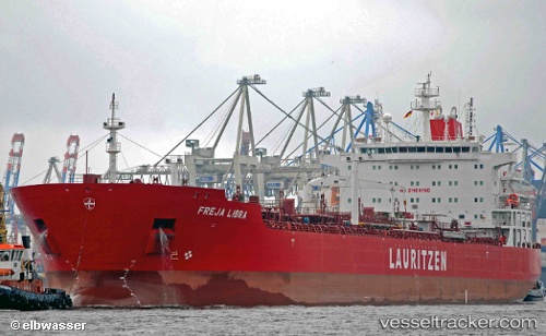
Vessel profile: DEIRA GHAIR is a Oil/Chemical Tanker with dimensions m x m.
This page combines live AIS, route history, probable destination signals, nearby traffic, and port activity for practical vessel monitoring.
The current position of vessel DEIRA GHAIR is 19.53691 lat / 131.93430 lng. Updated: 2026-05-14 18:10:58 UTCNearest reference points:
- Open sea, approx. 425 nm off the nearest listed port
- Open sea, approx. 418 nm off the nearest listed port
- Open sea, approx. 422 nm off the nearest listed port
Currently sailing under the flag of Marshall Islands ![]()
Details:
Live Vessel DEIRA GHAIR Analytics (details, animations, etc.)
Recent AIS points (UTC):
2026-05-14 18:10:58 UTC · 19.53691, 131.93430 · SOG 12.4 kn · COG 201°2026-05-14 18:10:58 UTC · 19.53691, 131.93430 · SOG 12.4 kn · COG 201°
2026-05-14 18:10:58 UTC · 19.53691, 131.93430 · SOG 12.4 kn · COG 201°
2026-05-14 18:10:58 UTC · 19.53691, 131.93430 · SOG 12.4 kn · COG 201°