 vesseltracker.com
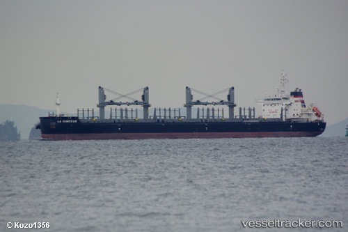
 AFRICAN SWIFT
Current Status
Where is the vessel?
AFRICAN SWIFT is currently in 161 nm S of Cidade de Angra dos Reis FPSO, based on AIS data received about 1h ago.
Latest AIS update:
Current position: 28.19667° S, 43.11833° W (161 nm S of Cidade de Angra dos Reis FPSO)
Average speed (last 7 days): Loading…
Average speed (last 30 days): Loading…
Vessel profile: AFRICAN SWIFT is a Bulk Carrier with dimensions m x m.
This page combines live AIS, route history, probable destination signals, nearby traffic, and port activity for practical vessel monitoring.
The current position of vessel AFRICAN SWIFT is -28.19667 lat / -43.11833 lng. Updated: 2026-05-14 10:18:55 UTCNearest reference points:
- 34 nm S of Cidade de Angra dos Reis FPSO
Currently sailing under the flag of Bahamas ![]()
Details:
Live Vessel AFRICAN SWIFT Analytics (details, animations, etc.)
Recent AIS points (UTC):
2026-05-14 07:05:48 UTC · -27.89902, -42.72423 · SOG 8.5 kn · COG 231°2026-05-14 07:42:19 UTC · -27.95384, -42.79559 · SOG 7.8 kn · COG 231°
2026-05-14 10:08:58 UTC · -28.18264, -43.09728 · SOG 8.8 kn · COG 240°
2026-05-14 10:18:55 UTC · -28.19667, -43.11833 · SOG 8 kn · COG -1°