 vesseltracker.com
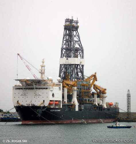
Ocean Blackhornet
Current StatusWhere is the vessel?
Ocean Blackhornet is currently in 53 nm SE of Gulfmex Lightering Area, based on AIS data received about 3d ago.
Latest AIS update:
Current position: 27.22409° N, 90.03340° W (53 nm SE of Gulfmex Lightering Area)
Average speed (last 7 days): Loading…
Average speed (last 30 days): Loading…
Vessel profile: Ocean Blackhornet is a Drilling Ship with dimensions 36m x 230m.
This page combines live AIS, route history, probable destination signals, nearby traffic, and port activity for practical vessel monitoring.
The current position of vessel Ocean Blackhornet is 27.22409 lat / -90.03340 lng. Updated: 2026-05-10 20:28:04 UTCNearest reference points:
- 94 nm S of Gulfmex Lightering Area
- Near Port Fourchon
- Near FOURCHON
Details:
Live Vessel Ocean Blackhornet Analytics (details, animations, etc.)
Recent AIS points (UTC):
2026-05-10 20:28:04 UTC · 27.22409, -90.03340 · SOG 0 kn · COG 269°2026-05-10 20:28:04 UTC · 27.22409, -90.03340 · SOG 0 kn · COG 269°
2026-05-10 20:28:04 UTC · 27.22409, -90.03340 · SOG 0 kn · COG 269°
2026-05-10 20:28:04 UTC · 27.22409, -90.03340 · SOG 0 kn · COG 269°