 vesseltracker.com
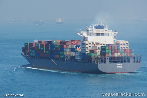
Emirates Asante
Current StatusWhere is the vessel?
Emirates Asante is currently in 25 nm E of Flying Fish Cove, based on AIS data received about 1h ago.
Latest AIS update:
Current position: 10.41300° S, 106.13580° E (25 nm E of Flying Fish Cove)
Average speed (last 7 days): Loading…
Average speed (last 30 days): Loading…
Vessel profile: Emirates Asante is a Container Ship with dimensions 37m x 255m.
This page combines live AIS, route history, probable destination signals, nearby traffic, and port activity for practical vessel monitoring.
The current position of vessel Emirates Asante is -10.41300 lat / 106.13580 lng. Updated: 2026-05-16 07:32:35 UTCNearest reference points:
- 103 nm S of Flying Fish Cove
Details:
Live Vessel Emirates Asante Analytics (details, animations, etc.)
Recent AIS points (UTC):
2026-05-16 04:18:45 UTC · -9.59364, 105.83592 · SOG 16.1 kn · COG 158°2026-05-16 06:02:28 UTC · -10.03343, 105.98485 · SOG 15.9 kn · COG 158°
2026-05-16 07:32:35 UTC · -10.41300, 106.13580 · SOG 16.4 kn · COG 152°
2026-05-16 07:32:35 UTC · -10.41300, 106.13580 · SOG 16.4 kn · COG 152°