 vesseltracker.com
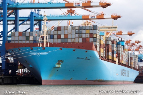
Maribo Maersk
Current StatusWhere is the vessel?
Maribo Maersk is currently in 13 nm S of Malacca, based on AIS data received less than 1h ago.
Latest AIS update:
Current position: 1.94863° N, 102.26983° E (13 nm S of Malacca)
Average speed (last 7 days): Loading…
Average speed (last 30 days): Loading…
Vessel profile: Maribo Maersk is a Container Ship with dimensions 60m x 399m.
This page combines live AIS, route history, probable destination signals, nearby traffic, and port activity for practical vessel monitoring.
The current position of vessel Maribo Maersk is 1.94863 lat / 102.26983 lng. Updated: 2026-05-02 21:57:24 UTCNearest reference points:
- Near Malacca
- Near MELAKA
- Near SUNGAI UDANG
Details:
Live Vessel Maribo Maersk Analytics (details, animations, etc.)
Recent AIS points (UTC):
2026-05-02 17:53:42 UTC · 1.31680, 103.29733 · SOG 15.6 kn · COG 308°2026-05-02 19:55:41 UTC · 1.67308, 102.82323 · SOG 18.6 kn · COG 297°
2026-05-02 20:15:05 UTC · 1.71730, 102.73298 · SOG 18.7 kn · COG 295°
2026-05-02 21:57:24 UTC · 1.94863, 102.26983 · SOG 17.5 kn · COG 305°