 vesseltracker.com
 PRINCESS SHAIMAA
Current Status
Where is the vessel?
PRINCESS SHAIMAA is currently in Near Mahu Sadam, based on AIS data received less than 1h ago.
Latest AIS update:
Current position: 59.60468° N, 23.65829° E (Near Mahu Sadam)
Average speed (last 7 days): Loading…
Average speed (last 30 days): Loading…
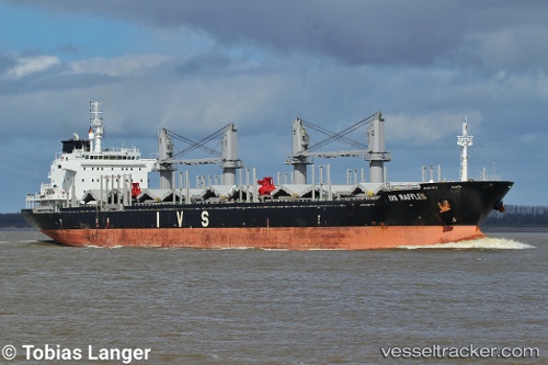
Vessel profile: PRINCESS SHAIMAA is a Bulk Carrier with dimensions m x m.
This page combines live AIS, route history, probable destination signals, nearby traffic, and port activity for practical vessel monitoring.
The current position of vessel PRINCESS SHAIMAA is 59.60468 lat / 23.65829 lng. Updated: 2026-05-01 22:02:51 UTCNearest reference points:
- Near Mahu Sadam
- Near Ristna
- Near Tvärminne
Currently sailing under the flag of Malta ![]()
Details:
Live Vessel PRINCESS SHAIMAA Analytics (details, animations, etc.)
Recent AIS points (UTC):
2026-05-01 17:38:44 UTC · 59.22909, 22.06288 · SOG 12.2 kn · COG 54°2026-05-01 19:08:15 UTC · 59.39720, 22.55848 · SOG 12.2 kn · COG 62°
2026-05-01 20:03:55 UTC · 59.47831, 22.89561 · SOG 12.4 kn · COG 67°
2026-05-01 22:02:51 UTC · 59.60468, 23.65829 · SOG 12.3 kn · COG 73°