 vesseltracker.com
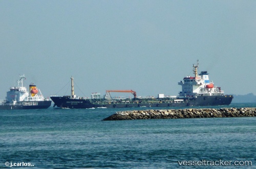
 MA YUE
Current Status
Where is the vessel?
MA YUE is currently in Near Sekupang, based on AIS data received about 4h ago.
Latest AIS update:
Current position: 1.07925° N, 103.89547° E (Near Sekupang)
Average speed (last 7 days): Loading…
Average speed (last 30 days): Loading…
Vessel profile: MA YUE is a Oil Products Tanker with dimensions 18m x 118m.
This page combines live AIS, route history, probable destination signals, nearby traffic, and port activity for practical vessel monitoring.
The current position of vessel MA YUE is 1.07925 lat / 103.89547 lng. Updated: 2026-05-14 23:44:17 UTCNearest reference points:
- Near Sekupang
- Near Batam Island
- Near Sambu
Currently sailing under the flag of China Peopless Republic ![]()
MA YUE built in 2011 year
Deadweight:
7040 tDetails:
Live Vessel MA YUE Analytics (details, animations, etc.)
Recent AIS points (UTC):
2026-05-14 20:05:20 UTC · 1.07927, 103.89558 · SOG 0.1 kn · COG -1°2026-05-14 22:02:18 UTC · 1.07922, 103.89553 · SOG 0 kn · COG -1°
2026-05-14 22:23:16 UTC · 1.07922, 103.89553 · SOG 0 kn · COG -1°
2026-05-14 23:44:17 UTC · 1.07925, 103.89547 · SOG 0 kn · COG -1°