 vesseltracker.com
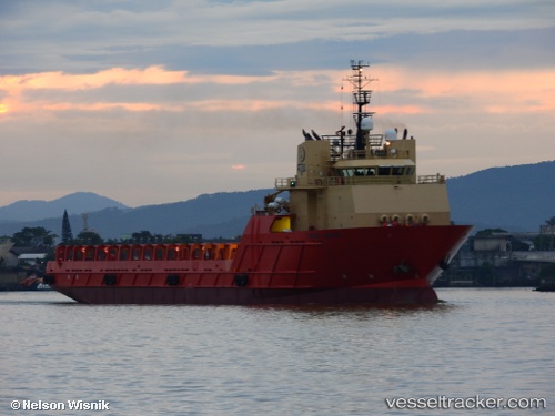
Bram Bahia
Current StatusWhere is the vessel?
Bram Bahia is currently in Near PORTO DO ACU, based on AIS data received about 3h ago.
Latest AIS update:
Current position: 21.86642° S, 41.01534° W (Near PORTO DO ACU)
Average speed (last 7 days): Loading…
Average speed (last 30 days): Loading…
Vessel profile: Bram Bahia is a Offshore Tug Supply Ship with dimensions 19m x 103m.
This page combines live AIS, route history, probable destination signals, nearby traffic, and port activity for practical vessel monitoring.
The current position of vessel Bram Bahia is -21.86642 lat / -41.01534 lng. Updated: 2026-05-14 23:48:58 UTCNearest reference points:
- Near PORTO DO ACU
- 24 nm SE of Carapebus
- Near Fluminense FPSO
Details:
Live Vessel Bram Bahia Analytics (details, animations, etc.)
Recent AIS points (UTC):
2026-05-14 19:45:56 UTC · -21.86639, -41.01534 · SOG 0 kn · COG 330°2026-05-14 21:36:56 UTC · -21.86638, -41.01538 · SOG 0 kn · COG 330°
2026-05-14 22:27:55 UTC · -21.86640, -41.01536 · SOG 0 kn · COG 330°
2026-05-14 23:48:58 UTC · -21.86642, -41.01534 · SOG 0 kn · COG 330°