 vesseltracker.com
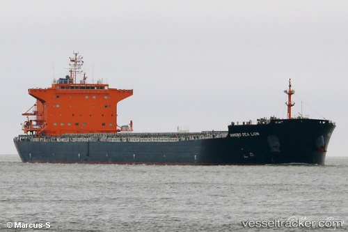
 ZHE NENG 7
Current Status
Where is the vessel?
ZHE NENG 7 is currently in 166 nm NW of Bolinao, based on AIS data received less than 1h ago.
Latest AIS update:
Current position: 17.48333° N, 117.23500° E (166 nm NW of Bolinao)
Average speed (last 7 days): Loading…
Average speed (last 30 days): Loading…
Vessel profile: ZHE NENG 7 is a Bulk Carrier with dimensions 31m x 225m.
This page combines live AIS, route history, probable destination signals, nearby traffic, and port activity for practical vessel monitoring.
The current position of vessel ZHE NENG 7 is 17.48333 lat / 117.23500 lng. Updated: 2026-05-14 13:22:44 UTCNearest reference points:
- 138 nm NW of Bolinao
- 222 nm W of Iba
- 34 nm W of Iba
Currently sailing under the flag of China Peopless Republic ![]()
ZHE NENG 7 built in 2013 year
Deadweight:
76001 tDetails:
Live Vessel ZHE NENG 7 Analytics (details, animations, etc.)
Recent AIS points (UTC):
2026-05-14 09:22:44 UTC · 18.22167, 116.77833 · SOG 12 kn · COG -1°2026-05-14 10:43:43 UTC · 17.97667, 116.93500 · SOG 13 kn · COG -1°
2026-05-14 12:13:44 UTC · 17.69833, 117.10833 · SOG 13 kn · COG -1°
2026-05-14 13:22:44 UTC · 17.48333, 117.23500 · SOG 13 kn · COG -1°