 vesseltracker.com
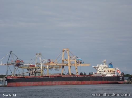
 He Hua Hai
Current Status
Where is the vessel?
He Hua Hai is currently in 74 nm S of Selat Lombok, based on AIS data received about 1h ago.
Latest AIS update:
Current position: 10.05884° S, 115.57914° E (74 nm S of Selat Lombok)
Average speed (last 7 days): Loading…
Average speed (last 30 days): Loading…
Vessel profile: He Hua Hai is a Bulk Carrier with dimensions 254m x 43m.
This page combines live AIS, route history, probable destination signals, nearby traffic, and port activity for practical vessel monitoring.
The current position of vessel He Hua Hai is -10.05884 lat / 115.57914 lng. Updated: 2026-05-15 10:56:33 UTCNearest reference points:
- Near BENOA
- Near LEMBAR
- 86 nm SE of BENETE
Currently sailing under the flag of China ![]()
He Hua Hai built in 2012 year
Deadweight:
115079 tDetails:
Live Vessel He Hua Hai Analytics (details, animations, etc.)
Recent AIS points (UTC):
2026-05-15 08:20:40 UTC · -9.53560, 115.62646 · SOG 12.4 kn · COG 173°2026-05-15 09:54:28 UTC · -9.85514, 115.59475 · SOG 12.6 kn · COG 186°
2026-05-15 10:56:33 UTC · -10.05884, 115.57914 · SOG 11.5 kn · COG 170°
2026-05-15 10:56:33 UTC · -10.05884, 115.57914 · SOG 11.5 kn · COG 170°