 vesseltracker.com
 AEOLIAN BREEZE
Current Status
Where is the vessel?
AEOLIAN BREEZE is currently in 51 nm E of MALAHAYATI, based on AIS data received about 1h ago.
Latest AIS update:
Current position: 5.91761° N, 96.32259° E (51 nm E of MALAHAYATI)
Average speed (last 7 days): Loading…
Average speed (last 30 days): Loading…
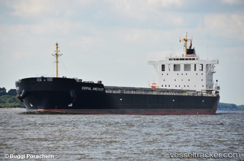
Vessel profile: AEOLIAN BREEZE is a Bulk Carrier with dimensions 225m x 32m.
This page combines live AIS, route history, probable destination signals, nearby traffic, and port activity for practical vessel monitoring.
The current position of vessel AEOLIAN BREEZE is 5.91761 lat / 96.32259 lng. Updated: 2026-05-14 11:38:50 UTCNearest reference points:
- 21 nm N of Sebang
- 53 nm NE of Sebang
- 45 nm NE of Krueng Geukueh
Currently sailing under the flag of Marshall Islands ![]()
AEOLIAN BREEZE built in 2012 year
Deadweight:
78092 tDetails:
Live Vessel AEOLIAN BREEZE Analytics (details, animations, etc.)
Recent AIS points (UTC):
2026-05-14 08:03:51 UTC · 6.10946, 95.67348 · SOG 10.7 kn · COG 104°2026-05-14 09:50:33 UTC · 6.01375, 95.99385 · SOG 11.5 kn · COG 109°
2026-05-14 10:28:51 UTC · 5.98678, 96.11232 · SOG 11.4 kn · COG 107°
2026-05-14 11:38:50 UTC · 5.91761, 96.32259 · SOG 11.4 kn · COG 104°