 vesseltracker.com
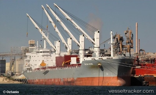
Triton Wind I
Current StatusWhere is the vessel?
Triton Wind I is currently in 20 nm S of Nueva Andalucia, based on AIS data received less than 1h ago.
Latest AIS update:
Current position: 36.18060° N, 4.87464° W (20 nm S of Nueva Andalucia)
Average speed (last 7 days): Loading…
Average speed (last 30 days): Loading…
Vessel profile: Triton Wind I is a Bulk Carrier with dimensions 24m x 188m.
This page combines live AIS, route history, probable destination signals, nearby traffic, and port activity for practical vessel monitoring.
The current position of vessel Triton Wind I is 36.18060 lat / -4.87464 lng. Updated: 2026-05-14 07:03:37 UTCNearest reference points:
- 30 nm E of Ceuta
- Near Nueva Andalucia
- Near Sotogrande
Details:
Live Vessel Triton Wind I Analytics (details, animations, etc.)
Recent AIS points (UTC):
2026-05-14 03:24:16 UTC · 36.18024, -4.94563 · SOG 1 kn · COG 334°2026-05-14 04:13:58 UTC · 36.18270, -4.92820 · SOG 0.9 kn · COG 349°
2026-05-14 06:19:16 UTC · 36.18305, -4.88589 · SOG 0.8 kn · COG 335°
2026-05-14 07:03:37 UTC · 36.18060, -4.87464 · SOG 0.8 kn · COG 333°