 vesseltracker.com
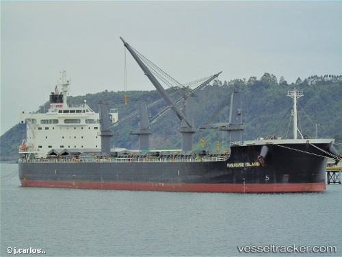
 BOA
BOA
Current Status
Where is the vessel?
BOA is currently in 310 nm SW of Tsiombe, based on AIS data received less than 1h ago.
Latest AIS update:
Current position: 27.78147° S, 40.42557° E (310 nm SW of Tsiombe)
Average speed (last 7 days): Loading…
Average speed (last 30 days): Loading…
Vessel profile: BOA is a Cargo with dimensions m x m.
This page combines live AIS, route history, probable destination signals, nearby traffic, and port activity for practical vessel monitoring.
The current position of vessel BOA is -27.78147 lat / 40.42557 lng. Updated: 2026-05-14 17:54:12 UTCNearest reference points:
- 358 nm E of Richards Bay
- Open sea, approx. 401 nm off the nearest listed port
- Open sea, approx. 402 nm off the nearest listed port
Currently sailing under the flag of Marshall Islands ![]()
Details:
Live Vessel BOA Analytics (details, animations, etc.)
Recent AIS points (UTC):
2026-05-14 14:08:42 UTC · -27.54765, 41.15897 · SOG 13.2 kn · COG 253°2026-05-14 15:50:23 UTC · -27.66833, 40.81667 · SOG 11 kn · COG -1°
2026-05-14 16:17:19 UTC · -27.68167, 40.72167 · SOG 12 kn · COG -1°
2026-05-14 17:54:12 UTC · -27.78147, 40.42557 · SOG 10.4 kn · COG 245°