 vesseltracker.com
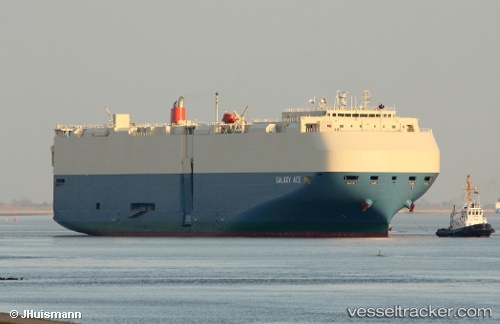
Galaxy Ace
Current StatusWhere is the vessel?
Galaxy Ace is currently in 87 nm W of LHOKNGA, based on AIS data received less than 1h ago.
Latest AIS update:
Current position: 5.46700° N, 93.79238° E (87 nm W of LHOKNGA)
Average speed (last 7 days): Loading…
Average speed (last 30 days): Loading…
Vessel profile: Galaxy Ace is a Vehicles Carrier with dimensions 32m x 199m.
This page combines live AIS, route history, probable destination signals, nearby traffic, and port activity for practical vessel monitoring.
The current position of vessel Galaxy Ace is 5.46700 lat / 93.79238 lng. Updated: 2026-05-16 05:43:58 UTCNearest reference points:
- 80 nm W of Sebang
- 48 nm NW of Sebang
- 160 nm W of Sebang
Details:
Live Vessel Galaxy Ace Analytics (details, animations, etc.)
Recent AIS points (UTC):
2026-05-15 19:25:51 UTC · 3.52187, 91.48715 · SOG 17.5 kn · COG 55°2026-05-15 19:25:51 UTC · 3.52187, 91.48715 · SOG 17.5 kn · COG 55°
2026-05-15 19:25:51 UTC · 3.52187, 91.48715 · SOG 17.5 kn · COG 55°
2026-05-16 05:43:58 UTC · 5.46700, 93.79238 · SOG 17.5 kn · COG 46°