 vesseltracker.com
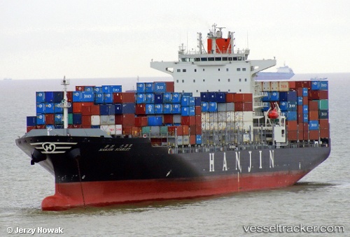
Maersk Iyo
Current StatusWhere is the vessel?
Maersk Iyo is currently in Near Vridi, based on AIS data received about 1h ago.
Latest AIS update:
Current position: 5.17900° N, 4.08481° W (Near Vridi)
Average speed (last 7 days): Loading…
Average speed (last 30 days): Loading…
Vessel profile: Maersk Iyo is a Container Ship with dimensions 37m x 255m.
This page combines live AIS, route history, probable destination signals, nearby traffic, and port activity for practical vessel monitoring.
The current position of vessel Maersk Iyo is 5.17900 lat / -4.08481 lng. Updated: 2026-04-27 12:00:35 UTCNearest reference points:
- Near Vridi
- Near Abidjan
- Near Espoir
Details:
Live Vessel Maersk Iyo Analytics (details, animations, etc.)
Recent AIS points (UTC):
2026-04-27 07:45:35 UTC · 5.17761, -4.08545 · SOG 0 kn · COG 296°2026-04-27 10:06:35 UTC · 5.17752, -4.08549 · SOG 0 kn · COG 289°
2026-04-27 10:06:35 UTC · 5.17752, -4.08549 · SOG 0 kn · COG 289°
2026-04-27 12:00:35 UTC · 5.17900, -4.08481 · SOG 0 kn · COG 251°