 vesseltracker.com
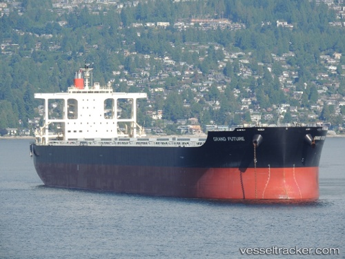
Cape Eagle
Current StatusWhere is the vessel?
Cape Eagle is currently in Near Beilun, based on AIS data received less than 1h ago.
Latest AIS update:
Current position: 29.93570° N, 121.88721° E (Near Beilun)
Average speed (last 7 days): Loading…
Average speed (last 30 days): Loading…
Vessel profile: Cape Eagle is a Bulk Carrier with dimensions 45m x 292m.
This page combines live AIS, route history, probable destination signals, nearby traffic, and port activity for practical vessel monitoring.
The current position of vessel Cape Eagle is 29.93570 lat / 121.88721 lng. Updated: 2026-05-15 03:35:21 UTCNearest reference points:
- Near Beilun
- Near Daxie Pt
- Near Majistan/Zhoushan
Details:
Live Vessel Cape Eagle Analytics (details, animations, etc.)
Recent AIS points (UTC):
2026-05-14 21:23:14 UTC · 29.93573, 121.88720 · SOG 0.1 kn · COG 288°2026-05-14 22:14:14 UTC · 29.93571, 121.88720 · SOG 0.1 kn · COG 288°
2026-05-15 00:11:14 UTC · 29.93571, 121.88717 · SOG 0 kn · COG 288°
2026-05-15 03:35:21 UTC · 29.93570, 121.88721 · SOG 0.1 kn · COG 288°