 vesseltracker.com
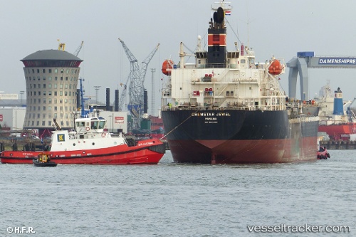
 RICHMOND PARK
Current Status
Where is the vessel?
RICHMOND PARK is currently in 23 nm W of Aberdaron, based on AIS data received about 1h ago.
Latest AIS update:
Current position: 52.76141° N, 5.33354° W (23 nm W of Aberdaron)
Average speed (last 7 days): Loading…
Average speed (last 30 days): Loading…
Vessel profile: RICHMOND PARK is a Chemical/Oil Products Tanker with dimensions 149m x 24m.
This page combines live AIS, route history, probable destination signals, nearby traffic, and port activity for practical vessel monitoring.
The current position of vessel RICHMOND PARK is 52.76141 lat / -5.33354 lng. Updated: 2026-05-15 16:04:57 UTCNearest reference points:
- Near ARKLOW
- Near WICKLOW
- Near Holyhead
Currently sailing under the flag of Liberia ![]()
RICHMOND PARK built in 2012 year
Deadweight:
21313 tDetails:
Live Vessel RICHMOND PARK Analytics (details, animations, etc.)
Recent AIS points (UTC):
2026-05-15 13:05:47 UTC · 53.44928, -4.85850 · SOG 15.7 kn · COG 215°2026-05-15 13:49:54 UTC · 53.27569, -4.99934 · SOG 15.3 kn · COG 201°
2026-05-15 15:53:17 UTC · 52.80177, -5.30654 · SOG 13.6 kn · COG 203°
2026-05-15 16:04:57 UTC · 52.76141, -5.33354 · SOG 13.2 kn · COG 201°