 vesseltracker.com
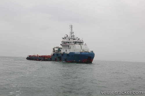
Ptsc Hai An
Current StatusWhere is the vessel?
Ptsc Hai An is currently in Near Dong Xuyen Port, based on AIS data received less than 1h ago.
Latest AIS update:
Current position: 10.39582° N, 107.09932° E (Near Dong Xuyen Port)
Average speed (last 7 days): Loading…
Average speed (last 30 days): Loading…
Vessel profile: Ptsc Hai An is a Offshore Tug Supply Ship with dimensions 16m x 65m.
This page combines live AIS, route history, probable destination signals, nearby traffic, and port activity for practical vessel monitoring.
The current position of vessel Ptsc Hai An is 10.39582 lat / 107.09932 lng. Updated: 2026-04-28 00:07:32 UTCNearest reference points:
- Near Cai Mep
- Near Dong Xuyen Port
- Near Cape Saint Jacques
Details:
Live Vessel Ptsc Hai An Analytics (details, animations, etc.)
Recent AIS points (UTC):
2026-04-27 20:21:42 UTC · 10.39041, 107.08614 · SOG 0 kn · COG 108°2026-04-27 21:42:14 UTC · 10.39039, 107.08615 · SOG 0 kn · COG 108°
2026-04-27 22:18:21 UTC · 10.39039, 107.08613 · SOG 0 kn · COG 108°
2026-04-28 00:07:32 UTC · 10.39582, 107.09932 · SOG 0 kn · COG 203°