 vesseltracker.com
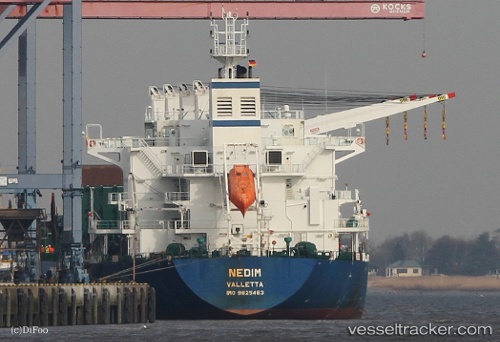
 NEGMAR YAKO I
Current Status
Where is the vessel?
NEGMAR YAKO I is currently in 128 nm N of Campohermoso, based on AIS data received less than 1h ago.
Latest AIS update:
Current position: 39.02167° N, 22.23500° W (128 nm N of Campohermoso)
Average speed (last 7 days): Loading…
Average speed (last 30 days): Loading…
Vessel profile: NEGMAR YAKO I is a Cargo with dimensions m x m.
This page combines live AIS, route history, probable destination signals, nearby traffic, and port activity for practical vessel monitoring.
The current position of vessel NEGMAR YAKO I is 39.02167 lat / -22.23500 lng. Updated: 2026-04-29 18:03:39 UTCNearest reference points:
- 68 nm NE of Campohermoso
Currently sailing under the flag of Marshall Islands ![]()
Details:
Live Vessel NEGMAR YAKO I Analytics (details, animations, etc.)
Recent AIS points (UTC):
2026-04-29 13:48:36 UTC · 39.17333, -23.09833 · SOG 9 kn · COG -1°2026-04-29 15:45:39 UTC · 39.09833, -22.70833 · SOG 9 kn · COG -1°
2026-04-29 17:02:24 UTC · 39.05906, -22.44703 · SOG 9.7 kn · COG 103°
2026-04-29 18:03:39 UTC · 39.02167, -22.23500 · SOG 10 kn · COG -1°