 vesseltracker.com
 GIFT
GIFT
Current Status
Where is the vessel?
GIFT is currently in 93 nm E of Lü-hua Shan, based on AIS data received about 1h ago.
Latest AIS update:
Current position: 30.53776° N, 124.38522° E (93 nm E of Lü-hua Shan)
Average speed (last 7 days): Loading…
Average speed (last 30 days): Loading…
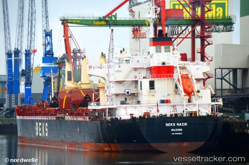
Vessel profile: GIFT is a Cargo with dimensions m x m.
This page combines live AIS, route history, probable destination signals, nearby traffic, and port activity for practical vessel monitoring.
The current position of vessel GIFT is 30.53776 lat / 124.38522 lng. Updated: 2026-04-23 19:59:35 UTCNearest reference points:
- 86 nm E of Lü-hua Shan
- 75 nm SE of Lü-hua Shan
- 97 nm E of Lü-hua Shan
Currently sailing under the flag of Barbados ![]()
Details:
Live Vessel GIFT Analytics (details, animations, etc.)
Recent AIS points (UTC):
2026-04-23 16:25:55 UTC · 29.97695, 124.43584 · SOG 9.3 kn · COG 5°2026-04-23 17:24:25 UTC · 30.13039, 124.43474 · SOG 9.4 kn · COG 5°
2026-04-23 19:22:14 UTC · 30.43994, 124.40865 · SOG 9.5 kn · COG 356°
2026-04-23 19:59:35 UTC · 30.53776, 124.38522 · SOG 9.8 kn · COG 350°