 vesseltracker.com
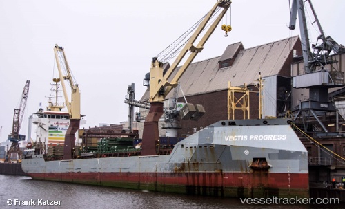
Vectis Progress
Current StatusWhere is the vessel?
Vectis Progress is currently in Near Marmara Adasi, based on AIS data received less than 1h ago.
Latest AIS update:
Current position: 40.64769° N, 27.57101° E (Near Marmara Adasi)
Average speed (last 7 days): Loading…
Average speed (last 30 days): Loading…
Vessel profile: Vectis Progress is a Multi Purpose Carrier with dimensions 17m x 124m.
This page combines live AIS, route history, probable destination signals, nearby traffic, and port activity for practical vessel monitoring.
The current position of vessel Vectis Progress is 40.64769 lat / 27.57101 lng. Updated: 2026-05-14 19:48:17 UTCNearest reference points:
- Near Saraylar
- Near Marmara Adasi
- Near Erdek
Details:
Live Vessel Vectis Progress Analytics (details, animations, etc.)
Recent AIS points (UTC):
2026-05-14 16:06:17 UTC · 40.64770, 27.57101 · SOG 0 kn · COG 0°2026-05-14 18:12:19 UTC · 40.64770, 27.57098 · SOG 0 kn · COG 0°
2026-05-14 19:36:20 UTC · 40.64766, 27.57103 · SOG 0 kn · COG 0°
2026-05-14 19:48:17 UTC · 40.64769, 27.57101 · SOG 0 kn · COG 0°