 vesseltracker.com
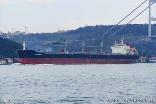
 MYRA BAY
Current Status
Where is the vessel?
MYRA BAY is currently in Near VISTINO, based on AIS data received about 2h ago.
Latest AIS update:
Current position: 59.86736° N, 28.39605° E (Near VISTINO)
Average speed (last 7 days): Loading…
Average speed (last 30 days): Loading…
Vessel profile: MYRA BAY is a Cargo with dimensions m x m.
This page combines live AIS, route history, probable destination signals, nearby traffic, and port activity for practical vessel monitoring.
The current position of vessel MYRA BAY is 59.86736 lat / 28.39605 lng. Updated: 2026-05-14 16:44:40 UTCNearest reference points:
- Near VISTINO
- Near Ruch’I
- Near Ust-Luga
Currently sailing under the flag of United Kingdom ![]()
Details:
Live Vessel MYRA BAY Analytics (details, animations, etc.)
Recent AIS points (UTC):
2026-05-14 13:53:33 UTC · 59.86715, 28.39610 · SOG 0.1 kn · COG 92°2026-05-14 16:01:57 UTC · 59.86700, 28.39607 · SOG 0 kn · COG 90°
2026-05-14 16:05:44 UTC · 59.86702, 28.39606 · SOG 0.2 kn · COG 87°
2026-05-14 16:44:40 UTC · 59.86736, 28.39605 · SOG 0.1 kn · COG 101°