 vesseltracker.com
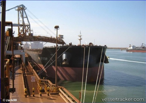
 MORANDI
Current Status
Where is the vessel?
MORANDI is currently in 72 nm E of Lü-hua Shan, based on AIS data received less than 1h ago.
Latest AIS update:
Current position: 30.91530° N, 124.00236° E (72 nm E of Lü-hua Shan)
Average speed (last 7 days): Loading…
Average speed (last 30 days): Loading…
Vessel profile: MORANDI is a Cargo with dimensions m x m.
This page combines live AIS, route history, probable destination signals, nearby traffic, and port activity for practical vessel monitoring.
The current position of vessel MORANDI is 30.91530 lat / 124.00236 lng. Updated: 2026-04-29 02:17:21 UTCNearest reference points:
- 56 nm E of Lü-hua Shan
- 86 nm E of Lü-hua Shan
- 97 nm E of Lü-hua Shan
Currently sailing under the flag of Malta ![]()
Details:
Live Vessel MORANDI Analytics (details, animations, etc.)
Recent AIS points (UTC):
2026-04-28 22:54:41 UTC · 30.39942, 124.00272 · SOG 9.2 kn · COG 6°2026-04-29 00:22:11 UTC · 30.62270, 124.00673 · SOG 8.9 kn · COG 6°
2026-04-29 01:10:00 UTC · 30.74284, 124.01521 · SOG 9 kn · COG 0°
2026-04-29 02:17:21 UTC · 30.91530, 124.00236 · SOG 9.4 kn · COG 356°