 vesseltracker.com
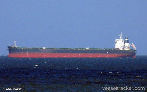
Panorea
Current StatusWhere is the vessel?
Panorea is currently in 72 nm S of Finike, based on AIS data received about 2h ago.
Latest AIS update:
Current position: 35.11667° N, 30.47333° E (72 nm S of Finike)
Average speed (last 7 days): Loading…
Average speed (last 30 days): Loading…
Vessel profile: Panorea is a Bulk Carrier with dimensions 32m x 229m.
This page combines live AIS, route history, probable destination signals, nearby traffic, and port activity for practical vessel monitoring.
The current position of vessel Panorea is 35.11667 lat / 30.47333 lng. Updated: 2026-05-15 19:24:01 UTCNearest reference points:
- Near Finike
- Near KAS
- 108 nm S of Kastellorizou (ex Megísti)
Details:
Live Vessel Panorea Analytics (details, animations, etc.)
Recent AIS points (UTC):
2026-05-15 14:59:56 UTC · 35.25863, 31.51106 · SOG 12 kn · COG 249°2026-05-15 17:38:58 UTC · 35.15167, 30.88833 · SOG 11 kn · COG -1°
2026-05-15 19:15:01 UTC · 35.11833, 30.50833 · SOG 11 kn · COG -1°
2026-05-15 19:24:01 UTC · 35.11667, 30.47333 · SOG 11 kn · COG -1°