 vesseltracker.com
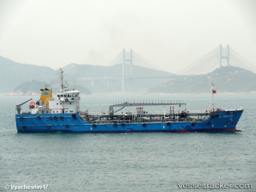
 Coastal Mercury
Current Status
Where is the vessel?
Coastal Mercury is currently in Near JURONG ISLAND, based on AIS data received about 1h ago.
Latest AIS update:
Current position: 1.23269° N, 103.68278° E (Near JURONG ISLAND)
Average speed (last 7 days): Loading…
Average speed (last 30 days): Loading…
Vessel profile: Coastal Mercury is a Service Ship with dimensions 78m x 14m.
This page combines live AIS, route history, probable destination signals, nearby traffic, and port activity for practical vessel monitoring.
The current position of vessel Coastal Mercury is 1.23269 lat / 103.68278 lng. Updated: 2026-05-14 01:35:31 UTCNearest reference points:
- Near Pulau Ayer Chawan
- Near JURONG ISLAND
- Near BUKOM ISLAND
Currently sailing under the flag of Singapore ![]()
Coastal Mercury built in 2012 year
Deadweight:
2281 tDetails:
Live Vessel Coastal Mercury Analytics (details, animations, etc.)
Recent AIS points (UTC):
2026-05-13 16:11:14 UTC · 1.23270, 103.68279 · SOG 0 kn · COG 157°2026-05-13 16:11:14 UTC · 1.23270, 103.68279 · SOG 0 kn · COG 157°
2026-05-14 01:09:02 UTC · 1.23270, 103.68278 · SOG 0 kn · COG 157°
2026-05-14 01:35:31 UTC · 1.23269, 103.68278 · SOG 0 kn · COG 157°