 vesseltracker.com
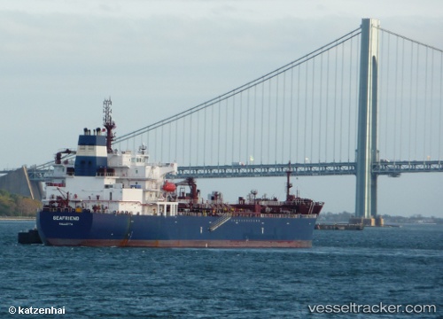
 Seafriend
Current Status
Where is the vessel?
Seafriend is currently in Near Waterport, based on AIS data received less than 1h ago.
Latest AIS update:
Current position: 36.12369° N, 5.36287° W (Near Waterport)
Average speed (last 7 days): Loading…
Average speed (last 30 days): Loading…
Vessel profile: Seafriend is a Chemical Oil Products Tanker with dimensions 183m x 183m.
This page combines live AIS, route history, probable destination signals, nearby traffic, and port activity for practical vessel monitoring.
The current position of vessel Seafriend is 36.12369 lat / -5.36287 lng. Updated: 2026-05-13 19:04:58 UTCNearest reference points:
- Near Waterport
- Near La Línea de la Concepción
- Near Palmones
Currently sailing under the flag of Malta ![]()
Seafriend built in 2013 year
Deadweight:
50908 tDetails:
Live Vessel Seafriend Analytics (details, animations, etc.)
Recent AIS points (UTC):
2026-05-13 15:44:07 UTC · 35.95108, -5.44609 · SOG 9.1 kn · COG 49°2026-05-13 16:28:58 UTC · 36.00526, -5.32520 · SOG 8 kn · COG 346°
2026-05-13 18:06:07 UTC · 36.12399, -5.36234 · SOG 0.1 kn · COG 324°
2026-05-13 19:04:58 UTC · 36.12369, -5.36287 · SOG 0 kn · COG 343°