 vesseltracker.com
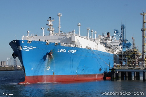
Lena River
Current StatusWhere is the vessel?
Lena River is currently in 172 nm SW of Port de Boké, based on AIS data received about 1h ago.
Latest AIS update:
Current position: 8.37188° N, 16.64892° W (172 nm SW of Port de Boké)
Average speed (last 7 days): Loading…
Average speed (last 30 days): Loading…
Vessel profile: Lena River is a Lng Tanker with dimensions 44m x 290m.
This page combines live AIS, route history, probable destination signals, nearby traffic, and port activity for practical vessel monitoring.
The current position of vessel Lena River is 8.37188 lat / -16.64892 lng. Updated: 2026-05-14 16:28:18 UTCNearest reference points:
- 97 nm SW of Port de Boké
- 144 nm SW of Bubaque
- 79 nm SW of Conakry
Details:
Live Vessel Lena River Analytics (details, animations, etc.)
Recent AIS points (UTC):
2026-05-14 13:38:47 UTC · 7.80320, -16.24037 · SOG 15.7 kn · COG 323°2026-05-14 14:05:14 UTC · 7.89489, -16.30723 · SOG 14.1 kn · COG 323°
2026-05-14 15:39:09 UTC · 8.20971, -16.52914 · SOG 14.4 kn · COG 322°
2026-05-14 16:28:18 UTC · 8.37188, -16.64892 · SOG 15.1 kn · COG 322°