 vesseltracker.com
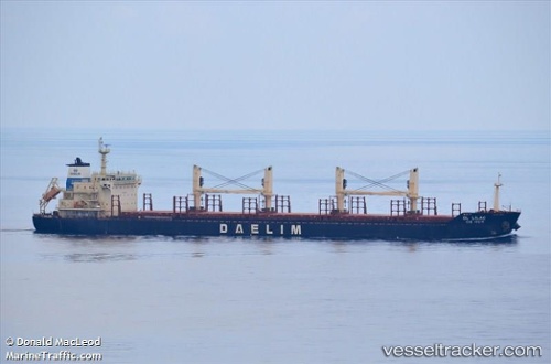
 CAPE BYRON
Current Status
Where is the vessel?
CAPE BYRON is currently in Near Olovi, based on AIS data received about 2h ago.
Latest AIS update:
Current position: 55.28898° N, 12.66924° E (Near Olovi)
Average speed (last 7 days): Loading…
Average speed (last 30 days): Loading…
Vessel profile: CAPE BYRON is a Bulk Carrier with dimensions m x m.
This page combines live AIS, route history, probable destination signals, nearby traffic, and port activity for practical vessel monitoring.
The current position of vessel CAPE BYRON is 55.28898 lat / 12.66924 lng. Updated: 2026-05-15 01:15:45 UTCNearest reference points:
- Near Skanör
- Near Rødvig Havn
- Near Limhamn
Currently sailing under the flag of Malta ![]()
Details:
Live Vessel CAPE BYRON Analytics (details, animations, etc.)
Recent AIS points (UTC):
2026-05-14 22:01:05 UTC · 55.80745, 12.70314 · SOG 10.4 kn · COG 168°2026-05-14 22:37:25 UTC · 55.70184, 12.68201 · SOG 9 kn · COG 173°
2026-05-14 23:59:01 UTC · 55.50662, 12.69850 · SOG 10.4 kn · COG 187°
2026-05-15 01:15:45 UTC · 55.28898, 12.66924 · SOG 11.3 kn · COG 103°