 vesseltracker.com
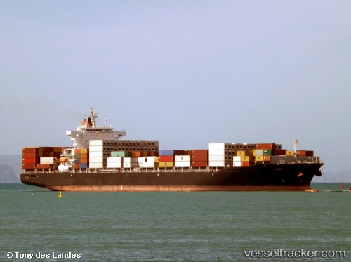
 LORI
LORI
Current Status
Where is the vessel?
LORI is currently in 10 nm S of Guarujá, based on AIS data received less than 1h ago.
Latest AIS update:
Current position: 24.15868° S, 46.18165° W (10 nm S of Guarujá)
Average speed (last 7 days): Loading…
Average speed (last 30 days): Loading…
Vessel profile: LORI is a Container Ship with dimensions 37m x 228m.
This page combines live AIS, route history, probable destination signals, nearby traffic, and port activity for practical vessel monitoring.
The current position of vessel LORI is -24.15868 lat / -46.18165 lng. Updated: 2026-04-21 22:17:34 UTCNearest reference points:
- Near Guarujá
- Near Santos
- 30 nm SE of Guarujá
Currently sailing under the flag of Liberia ![]()
LORI built in 2013 year
Deadweight:
51100 tDetails:
Live Vessel LORI Analytics (details, animations, etc.)
Recent AIS points (UTC):
2026-04-21 19:59:34 UTC · -24.15897, -46.18223 · SOG 0 kn · COG 132°2026-04-21 20:11:35 UTC · -24.15896, -46.18239 · SOG 0 kn · COG 131°
2026-04-21 22:05:33 UTC · -24.15857, -46.18165 · SOG 0 kn · COG 161°
2026-04-21 22:17:34 UTC · -24.15868, -46.18165 · SOG 0 kn · COG 161°