 vesseltracker.com
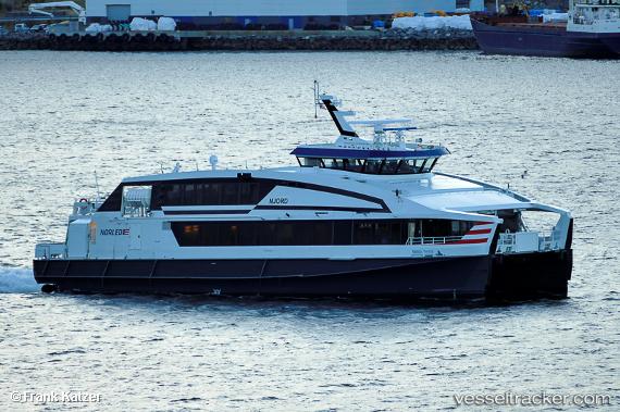
 Njord
Njord
Current Status
Where is the vessel?
Njord is currently in Near Kalvåg, based on AIS data received about 1h ago.
Latest AIS update:
Current position: 61.77917° N, 4.94867° E (Near Kalvåg)
Average speed (last 7 days): Loading…
Average speed (last 30 days): Loading…
Vessel profile: Njord is a Passenger Ro Ro Cargo Ship with dimensions 35m x 35m.
This page combines live AIS, route history, probable destination signals, nearby traffic, and port activity for practical vessel monitoring.
The current position of vessel Njord is 61.77917 lat / 4.94867 lng. Updated: 2026-04-28 06:06:32 UTCNearest reference points:
- Near MALOY
- Near RAUDEBERG
- Near Eikefjord
Currently sailing under the flag of Norway ![]()
Njord built in 2012 year
Deadweight:
40 tDetails:
Live Vessel Njord Analytics (details, animations, etc.)
Recent AIS points (UTC):
2026-04-28 02:28:11 UTC · 62.04500, 5.34167 · SOG 0 kn · COG -1°2026-04-28 03:57:52 UTC · 62.04508, 5.34237 · SOG 0 kn · COG 288°
2026-04-28 04:49:42 UTC · 62.04507, 5.34242 · SOG 0.1 kn · COG 294°
2026-04-28 06:06:32 UTC · 61.77917, 4.94867 · SOG 1.3 kn · COG 71°