 vesseltracker.com
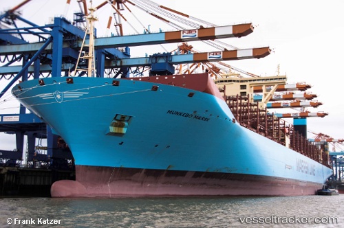
 Munkebo Maersk
Current Status
Where is the vessel?
Munkebo Maersk is currently in 379 nm S of Harper, based on AIS data received less than 1h ago.
Latest AIS update:
Current position: 1.85335° S, 8.74451° W (379 nm S of Harper)
Average speed (last 7 days): Loading…
Average speed (last 30 days): Loading…
Vessel profile: Munkebo Maersk is a Container Ship with dimensions 399m x 60m.
This page combines live AIS, route history, probable destination signals, nearby traffic, and port activity for practical vessel monitoring.
The current position of vessel Munkebo Maersk is -1.85335 lat / -8.74451 lng. Updated: 2026-05-14 09:37:43 UTCNearest reference points:
- Open sea, approx. 400 nm off the nearest listed port
- Open sea, approx. 401 nm off the nearest listed port
- Open sea, approx. 402 nm off the nearest listed port
Currently sailing under the flag of Denmark ![]()
Details:
Live Vessel Munkebo Maersk Analytics (details, animations, etc.)
Recent AIS points (UTC):
2026-05-14 06:18:26 UTC · -1.05667, -9.29167 · SOG 17 kn · COG -1°2026-05-14 07:03:09 UTC · -1.23540, -9.16812 · SOG 17.4 kn · COG 145°
2026-05-14 07:20:18 UTC · -1.30403, -9.12112 · SOG 17.3 kn · COG 145°
2026-05-14 09:37:43 UTC · -1.85335, -8.74451 · SOG 17.3 kn · COG 143°