 vesseltracker.com
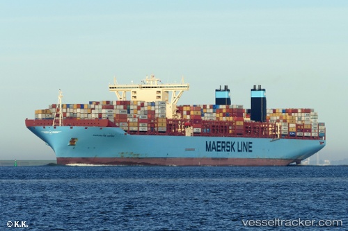
Margrethe Maersk
Current StatusWhere is the vessel?
Margrethe Maersk is currently in 35 nm SW of Kao-Hsiung Kang, based on AIS data received about 1h ago.
Latest AIS update:
Current position: 22.32472° N, 119.71533° E (35 nm SW of Kao-Hsiung Kang)
Average speed (last 7 days): Loading…
Average speed (last 30 days): Loading…
Vessel profile: Margrethe Maersk is a Container Ship with dimensions 60m x 399m.
This page combines live AIS, route history, probable destination signals, nearby traffic, and port activity for practical vessel monitoring.
The current position of vessel Margrethe Maersk is 22.32472 lat / 119.71533 lng. Updated: 2026-05-13 19:57:15 UTCNearest reference points:
- 22 nm SW of Kaohsiung
- Near Tso-Ying
- Near Kao-Hsiung Kang
Details:
Live Vessel Margrethe Maersk Analytics (details, animations, etc.)
Recent AIS points (UTC):
2026-05-13 16:01:37 UTC · 21.81333, 119.30167 · SOG 10 kn · COG -1°2026-05-13 17:34:35 UTC · 22.01387, 119.46515 · SOG 10 kn · COG 38°
2026-05-13 19:19:36 UTC · 22.24055, 119.65337 · SOG 9.8 kn · COG 38°
2026-05-13 19:57:15 UTC · 22.32472, 119.71533 · SOG 10 kn · COG 31°