 vesseltracker.com
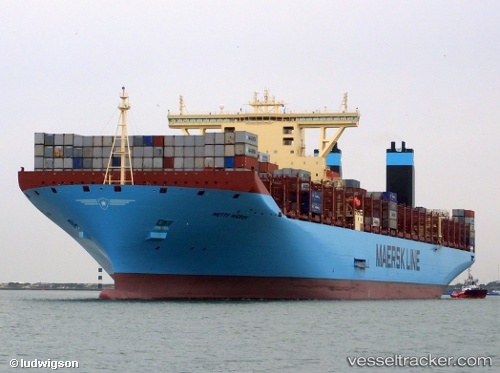
Mette Maersk
Current StatusWhere is the vessel?
Mette Maersk is currently in 102 nm SW of Gageohyangri, based on AIS data received less than 1h ago.
Latest AIS update:
Current position: 33.32892° N, 123.25273° E (102 nm SW of Gageohyangri)
Average speed (last 7 days): Loading…
Average speed (last 30 days): Loading…
Vessel profile: Mette Maersk is a Container Ship with dimensions 60m x 399m.
This page combines live AIS, route history, probable destination signals, nearby traffic, and port activity for practical vessel monitoring.
The current position of vessel Mette Maersk is 33.32892 lat / 123.25273 lng. Updated: 2026-05-14 03:40:12 UTCNearest reference points:
- 99 nm NE of Yangkou Pt
- 91 nm W of Gageohyangri
- 82 nm W of Gageohyangri
Details:
Live Vessel Mette Maersk Analytics (details, animations, etc.)
Recent AIS points (UTC):
2026-05-14 00:01:08 UTC · 32.52543, 123.43211 · SOG 13 kn · COG 358°2026-05-14 01:43:42 UTC · 32.92918, 123.39520 · SOG 14.3 kn · COG 355°
2026-05-14 01:49:18 UTC · 32.95145, 123.39342 · SOG 14.3 kn · COG 355°
2026-05-14 03:40:12 UTC · 33.32892, 123.25273 · SOG 10.2 kn · COG 331°