 vesseltracker.com
 CARINA PACIFIC
Current Status
Where is the vessel?
CARINA PACIFIC is currently in 13 nm S of WAILINGDING ISLAND, based on AIS data received about 1h ago.
Latest AIS update:
Current position: 21.89758° N, 113.95964° E (13 nm S of WAILINGDING ISLAND)
Average speed (last 7 days): Loading…
Average speed (last 30 days): Loading…
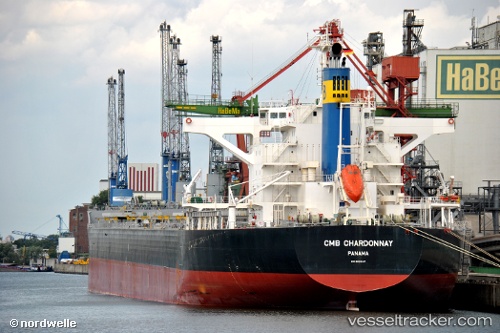
Vessel profile: CARINA PACIFIC is a Bulk Carrier with dimensions m x m.
This page combines live AIS, route history, probable destination signals, nearby traffic, and port activity for practical vessel monitoring.
The current position of vessel CARINA PACIFIC is 21.89758 lat / 113.95964 lng. Updated: 2026-05-15 08:22:25 UTCNearest reference points:
- 15 nm S of WAILINGDING ISLAND
- Near WAILINGDING ISLAND
- 14 nm SE of Wanshan Pt
Currently sailing under the flag of Liberia ![]()
Details:
Live Vessel CARINA PACIFIC Analytics (details, animations, etc.)
Recent AIS points (UTC):
2026-05-15 04:32:50 UTC · 22.16451, 114.17221 · SOG 0.1 kn · COG 44°2026-05-15 06:14:45 UTC · 22.16825, 114.17599 · SOG 2.8 kn · COG 135°
2026-05-15 08:02:54 UTC · 21.93412, 114.01159 · SOG 11.5 kn · COG 229°
2026-05-15 08:22:25 UTC · 21.89758, 113.95964 · SOG 11.4 kn · COG 242°