 vesseltracker.com
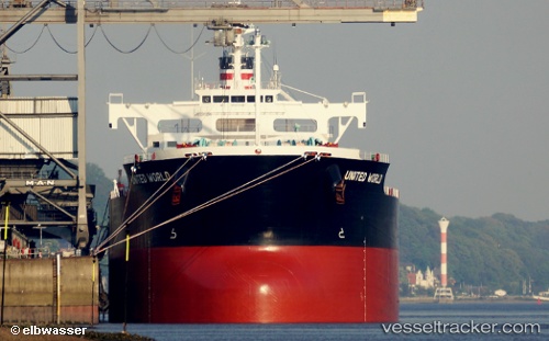
 ZERMATT
Current Status
Where is the vessel?
ZERMATT is currently in Near Isdemir, based on AIS data received about 1h ago.
Latest AIS update:
Current position: 36.78045° N, 36.19043° E (Near Isdemir)
Average speed (last 7 days): Loading…
Average speed (last 30 days): Loading…
Vessel profile: ZERMATT is a Bulk Carrier with dimensions 229m x 32m.
This page combines live AIS, route history, probable destination signals, nearby traffic, and port activity for practical vessel monitoring.
The current position of vessel ZERMATT is 36.78045 lat / 36.19043 lng. Updated: 2026-05-15 00:59:32 UTCNearest reference points:
- Near DORTYOL
- Near Iskenderun
- Near CEYHAN
Currently sailing under the flag of Marshall Islands ![]()
ZERMATT built in 2013 year
Deadweight:
82026 tDetails:
Live Vessel ZERMATT Analytics (details, animations, etc.)
Recent AIS points (UTC):
2026-05-14 21:35:35 UTC · 36.78042, 36.19050 · SOG 0.1 kn · COG 77°2026-05-14 22:42:35 UTC · 36.78045, 36.19046 · SOG 0.1 kn · COG 77°
2026-05-14 23:59:32 UTC · 36.78044, 36.19047 · SOG 0.1 kn · COG 77°
2026-05-15 00:59:32 UTC · 36.78045, 36.19043 · SOG 0.2 kn · COG 77°