 vesseltracker.com
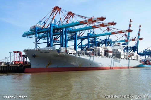
 SFL MAUI
Current Status
Where is the vessel?
SFL MAUI is currently in Near Buildwas, based on AIS data received about 1h ago.
Latest AIS update:
Current position: 58.67503° N, 2.68284° W (Near Buildwas)
Average speed (last 7 days): Loading…
Average speed (last 30 days): Loading…
Vessel profile: SFL MAUI is a Container Ship with dimensions 270m x 42m.
This page combines live AIS, route history, probable destination signals, nearby traffic, and port activity for practical vessel monitoring.
The current position of vessel SFL MAUI is 58.67503 lat / -2.68284 lng. Updated: 2026-05-16 07:48:01 UTCNearest reference points:
- Near Staxigoe
- Near Tingwall
- Near STROMNESS
Currently sailing under the flag of Liberia ![]()
SFL MAUI built in 2013 year
Deadweight:
80115 tDetails:
Live Vessel SFL MAUI Analytics (details, animations, etc.)
Recent AIS points (UTC):
2026-05-16 05:08:13 UTC · 58.13486, -1.65470 · SOG 17.1 kn · COG 315°2026-05-16 05:46:51 UTC · 58.26479, -1.89840 · SOG 17.1 kn · COG 315°
2026-05-16 07:13:14 UTC · 58.55342, -2.44987 · SOG 17.3 kn · COG 315°
2026-05-16 07:48:01 UTC · 58.67503, -2.68284 · SOG 17.1 kn · COG 304°