 vesseltracker.com
 HORUS
HORUS
Current Status
Where is the vessel?
HORUS is currently in 44 nm NE of MALAHAYATI, based on AIS data received less than 1h ago.
Latest AIS update:
Current position: 6.06000° N, 96.10667° E (44 nm NE of MALAHAYATI)
Average speed (last 7 days): Loading…
Average speed (last 30 days): Loading…
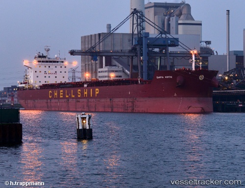
Vessel profile: HORUS is a Bulk Carrier with dimensions 229m x 32m.
This page combines live AIS, route history, probable destination signals, nearby traffic, and port activity for practical vessel monitoring.
The current position of vessel HORUS is 6.06000 lat / 96.10667 lng. Updated: 2026-05-17 14:15:46 UTCNearest reference points:
- 21 nm N of Sebang
- 53 nm NE of Sebang
- 28 nm NW of Sebang
Currently sailing under the flag of Marshall Is ![]()
HORUS built in 2012 year
Deadweight:
80545 tDetails:
Live Vessel HORUS Analytics (details, animations, etc.)
Recent AIS points (UTC):
2026-05-17 10:18:46 UTC · 6.21167, 95.43833 · SOG 10 kn · COG -1°2026-05-17 11:18:50 UTC · 6.17500, 95.59833 · SOG 9 kn · COG -1°
2026-05-17 13:12:47 UTC · 6.10667, 95.92167 · SOG 10 kn · COG -1°
2026-05-17 14:15:46 UTC · 6.06000, 96.10667 · SOG 10 kn · COG -1°