 vesseltracker.com
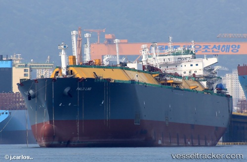
 Palu Lng
Current Status
Where is the vessel?
Palu Lng is currently in 171 nm E of Marsh Harbour, based on AIS data received less than 1h ago.
Latest AIS update:
Current position: 27.25167° N, 73.86833° W (171 nm E of Marsh Harbour)
Average speed (last 7 days): Loading…
Average speed (last 30 days): Loading…
Vessel profile: Palu Lng is a Lng Tanker with dimensions 294m x 44m.
This page combines live AIS, route history, probable destination signals, nearby traffic, and port activity for practical vessel monitoring.
The current position of vessel Palu Lng is 27.25167 lat / -73.86833 lng. Updated: 2026-05-17 11:27:31 UTCNearest reference points:
- 113 nm NE of Green Turtle Cay
- 31 nm E of Harbour Island
- 22 nm E of Harbour Island
Currently sailing under the flag of Malta ![]()
Details:
Live Vessel Palu Lng Analytics (details, animations, etc.)
Recent AIS points (UTC):
2026-05-17 07:36:31 UTC · 27.72667, -72.86333 · SOG 15 kn · COG -1°2026-05-17 10:06:31 UTC · 27.42167, -73.52167 · SOG 15 kn · COG -1°
2026-05-17 10:18:30 UTC · 27.39667, -73.57333 · SOG 15 kn · COG -1°
2026-05-17 11:27:31 UTC · 27.25167, -73.86833 · SOG 15 kn · COG -1°