 vesseltracker.com
 Marini
Current Status
Where is the vessel?
Marini is currently in Near Port de Boké, based on AIS data received about 1h ago.
Latest AIS update:
Current position: 10.41248° N, 14.83002° W (Near Port de Boké)
Average speed (last 7 days): Loading…
Average speed (last 30 days): Loading…
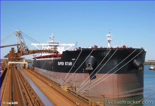
Vessel profile: Marini is a Bulk Carrier with dimensions 300m x 50m.
This page combines live AIS, route history, probable destination signals, nearby traffic, and port activity for practical vessel monitoring.
The current position of vessel Marini is 10.41248 lat / -14.83002 lng. Updated: 2026-05-13 23:26:21 UTCNearest reference points:
- Near Port de Boké
- 14 nm S of Port de Boké
- Near Dougoula
Currently sailing under the flag of Malta ![]()
Details:
Live Vessel Marini Analytics (details, animations, etc.)
Recent AIS points (UTC):
2026-05-13 19:32:19 UTC · 10.41750, -14.83067 · SOG 0.3 kn · COG 136°2026-05-13 22:05:22 UTC · 10.41273, -14.82902 · SOG 0.1 kn · COG 337°
2026-05-13 22:17:20 UTC · 10.41265, -14.82902 · SOG 0 kn · COG 338°
2026-05-13 23:26:21 UTC · 10.41248, -14.83002 · SOG 0 kn · COG 5°