 vesseltracker.com
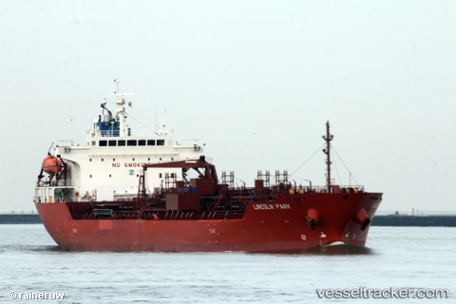
 TG LEO
Current Status
Where is the vessel?
TG LEO is currently in 54 nm S of Havdhem, based on AIS data received less than 1h ago.
Latest AIS update:
Current position: 56.24314° N, 18.39301° E (54 nm S of Havdhem)
Average speed (last 7 days): Loading…
Average speed (last 30 days): Loading…
Vessel profile: TG LEO is a Oil/Chemical Tanker with dimensions m x m.
This page combines live AIS, route history, probable destination signals, nearby traffic, and port activity for practical vessel monitoring.
The current position of vessel TG LEO is 56.24314 lat / 18.39301 lng. Updated: 2026-05-14 16:11:45 UTCNearest reference points:
- Near WLADYSLAWOWO
- 39 nm W of Pilies juru uosto PVP/Klaipeda
- Near Gdynia
Currently sailing under the flag of Liberia ![]()
Details:
Live Vessel TG LEO Analytics (details, animations, etc.)
Recent AIS points (UTC):
2026-05-14 13:44:36 UTC · 56.58496, 18.95565 · SOG 11.7 kn · COG 208°2026-05-14 14:09:17 UTC · 56.51558, 18.88612 · SOG 11.5 kn · COG 209°
2026-05-14 16:08:35 UTC · 56.24862, 18.40860 · SOG 11.7 kn · COG 238°
2026-05-14 16:11:45 UTC · 56.24314, 18.39301 · SOG 11.7 kn · COG 238°