 vesseltracker.com
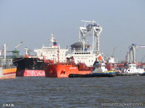
 PVT LYRA
Current Status
Where is the vessel?
PVT LYRA is currently in 125 nm NE of Puerto Baquerizo Moreno, based on AIS data received less than 1h ago.
Latest AIS update:
Current position: 0.80348° N, 88.40722° W (125 nm NE of Puerto Baquerizo Moreno)
Average speed (last 7 days): Loading…
Average speed (last 30 days): Loading…
Vessel profile: PVT LYRA is a Oil/Chemical Tanker with dimensions m x m.
This page combines live AIS, route history, probable destination signals, nearby traffic, and port activity for practical vessel monitoring.
The current position of vessel PVT LYRA is 0.80348 lat / -88.40722 lng. Updated: 2026-05-14 00:18:57 UTCNearest reference points:
- 48 nm NE of Seymour
- 36 nm E of Puerto Baquerizo Moreno
- Near San Cristóbal
Currently sailing under the flag of Panama ![]()
Details:
Live Vessel PVT LYRA Analytics (details, animations, etc.)
Recent AIS points (UTC):
2026-05-13 19:45:19 UTC · 1.51229, -89.01726 · SOG 11.8 kn · COG 134°2026-05-13 21:27:26 UTC · 1.25375, -88.79002 · SOG 12.3 kn · COG 140°
2026-05-13 23:04:25 UTC · 1.00003, -88.57292 · SOG 12.6 kn · COG 140°
2026-05-14 00:18:57 UTC · 0.80348, -88.40722 · SOG 12.5 kn · COG 140°