 vesseltracker.com
 Miho
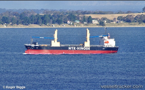
Miho
Current Status
Where is the vessel?
Miho is currently in 250 nm E of Luque, based on AIS data received less than 1h ago.
Latest AIS update:
Current position: 26.39592° N, 53.11990° W (250 nm E of Luque)
Average speed (last 7 days): Loading…
Average speed (last 30 days): Loading…
Vessel profile: Miho is a General Cargo Ship with dimensions 128m x 20m.
This page combines live AIS, route history, probable destination signals, nearby traffic, and port activity for practical vessel monitoring.
The current position of vessel Miho is 26.39592 lat / -53.11990 lng. Updated: 2026-05-14 21:58:48 UTCNearest reference points:
- 331 nm E of Luque
- Open sea, approx. 403 nm off the nearest listed port
- Open sea, approx. 401 nm off the nearest listed port
Currently sailing under the flag of Panama ![]()
Miho built in 2012 year
Deadweight:
14017 tDetails:
Live Vessel Miho Analytics (details, animations, etc.)
Recent AIS points (UTC):
2026-05-14 19:18:17 UTC · 26.50466, -52.54391 · SOG 12.2 kn · COG 259°2026-05-14 20:19:14 UTC · 26.47765, -52.76617 · SOG 12 kn · COG 260°
2026-05-14 21:20:47 UTC · 26.42421, -52.98427 · SOG 12 kn · COG 254°
2026-05-14 21:58:48 UTC · 26.39592, -53.11990 · SOG 11.7 kn · COG 255°