 vesseltracker.com
California
Current StatusWhere is the vessel?
California is currently in 72 nm SW of Nootka, based on AIS data received about 1h ago.
Latest AIS update:
Current position: 49.11271° N, 128.32695° W (72 nm SW of Nootka)
Average speed (last 7 days): Loading…
Average speed (last 30 days): Loading…
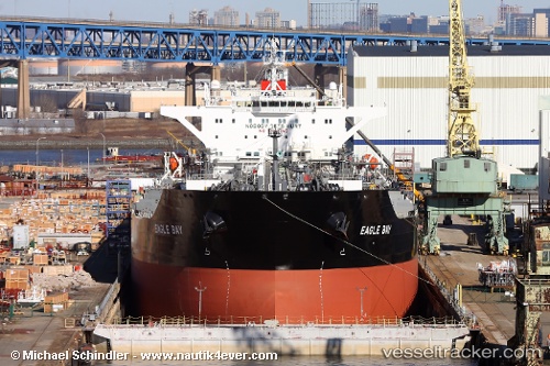
Vessel profile: California is a Crude Oil Tanker with dimensions 44m x 251m.
This page combines live AIS, route history, probable destination signals, nearby traffic, and port activity for practical vessel monitoring.
The current position of vessel California is 49.11271 lat / -128.32695 lng. Updated: 2026-05-16 05:38:43 UTCNearest reference points:
- 29 nm NW of Coal Harbour
- Near PORT HARDY
Details:
Live Vessel California Analytics (details, animations, etc.)
Recent AIS points (UTC):
2026-05-16 02:09:42 UTC · 48.68042, -127.31053 · SOG 14.2 kn · COG 299°2026-05-16 04:13:49 UTC · 48.93764, -127.92156 · SOG 13.8 kn · COG 301°
2026-05-16 04:41:28 UTC · 48.99517, -128.05428 · SOG 13.1 kn · COG 302°
2026-05-16 05:38:43 UTC · 49.11271, -128.32695 · SOG 13.2 kn · COG 301°