 vesseltracker.com
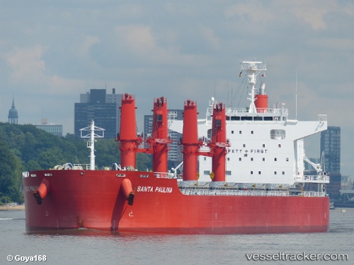
Santa Paulina
Current StatusWhere is the vessel?
Santa Paulina is currently in 34 nm E of Cape Agulhas, based on AIS data received less than 1h ago.
Latest AIS update:
Current position: 34.79292° S, 20.67833° E (34 nm E of Cape Agulhas)
Average speed (last 7 days): Loading…
Average speed (last 30 days): Loading…
Vessel profile: Santa Paulina is a Bulk Carrier with dimensions 32m x 199m.
This page combines live AIS, route history, probable destination signals, nearby traffic, and port activity for practical vessel monitoring.
The current position of vessel Santa Paulina is -34.79292 lat / 20.67833 lng. Updated: 2026-05-15 16:10:14 UTCNearest reference points:
- 37 nm S of Mosselbaai
- 16 nm S of Mosselbaai
- Near Mosselbaai
Details:
Live Vessel Santa Paulina Analytics (details, animations, etc.)
Recent AIS points (UTC):
2026-05-15 11:40:59 UTC · -34.64897, 21.55902 · SOG 9.8 kn · COG 256°2026-05-15 13:40:10 UTC · -34.71359, 21.17032 · SOG 9.4 kn · COG 257°
2026-05-15 14:02:21 UTC · -34.72422, 21.09705 · SOG 10 kn · COG 257°
2026-05-15 16:10:14 UTC · -34.79292, 20.67833 · SOG 10.9 kn · COG 255°