 vesseltracker.com
 SAINT NICHOLAS
Current Status
Where is the vessel?
SAINT NICHOLAS is currently in 18 nm NE of Al Gurdagah, based on AIS data received about 1h ago.
Latest AIS update:
Current position: 27.49135° N, 34.05248° E (18 nm NE of Al Gurdagah)
Average speed (last 7 days): Loading…
Average speed (last 30 days): Loading…
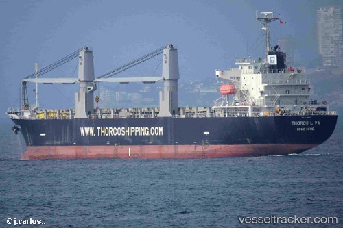
Vessel profile: SAINT NICHOLAS is a General Cargo Ship with dimensions 132m x 132m.
This page combines live AIS, route history, probable destination signals, nearby traffic, and port activity for practical vessel monitoring.
The current position of vessel SAINT NICHOLAS is 27.49135 lat / 34.05248 lng. Updated: 2026-05-15 07:41:22 UTCNearest reference points:
- 19 nm SE of Zeit Bay
- Near El-Guna (El Gouna)
- Near Bur Safaga
Currently sailing under the flag of Marshall Islands ![]()
SAINT NICHOLAS built in 2012 year
Deadweight:
16901 tDetails:
Live Vessel SAINT NICHOLAS Analytics (details, animations, etc.)
Recent AIS points (UTC):
2026-05-15 04:14:22 UTC · 27.96927, 33.54760 · SOG 11.4 kn · COG 130°2026-05-15 05:11:16 UTC · 27.84457, 33.69988 · SOG 10.9 kn · COG 134°
2026-05-15 07:17:23 UTC · 27.54708, 33.98918 · SOG 11.8 kn · COG 138°
2026-05-15 07:41:22 UTC · 27.49135, 34.05248 · SOG 11.9 kn · COG 131°