 vesseltracker.com
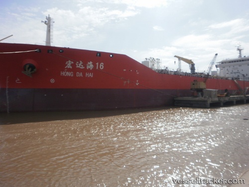
 ATLAS LINK
Current Status
Where is the vessel?
ATLAS LINK is currently in 36 nm N of FUTONG, based on AIS data received less than 1h ago.
Latest AIS update:
Current position: 1.37500° N, 102.17667° E (36 nm N of FUTONG)
Average speed (last 7 days): Loading…
Average speed (last 30 days): Loading…
Vessel profile: ATLAS LINK is a Tanker with dimensions m x m.
This page combines live AIS, route history, probable destination signals, nearby traffic, and port activity for practical vessel monitoring.
The current position of vessel ATLAS LINK is 1.37500 lat / 102.17667 lng. Updated: 2026-05-15 04:32:31 UTCNearest reference points:
- 34 nm NW of FUTONG
- 29 nm W of Parit Raja
- Near Pelabuhan Futong Terminal
Currently sailing under the flag of Indonesia ![]()
Details:
Live Vessel ATLAS LINK Analytics (details, animations, etc.)
Recent AIS points (UTC):
2026-05-14 22:29:26 UTC · 1.37167, 102.17833 · SOG 0 kn · COG -1°2026-05-14 23:29:28 UTC · 1.37167, 102.17833 · SOG 0 kn · COG -1°
2026-05-15 04:20:30 UTC · 1.37500, 102.17667 · SOG 0 kn · COG -1°
2026-05-15 04:32:31 UTC · 1.37500, 102.17667 · SOG 0 kn · COG -1°