 vesseltracker.com
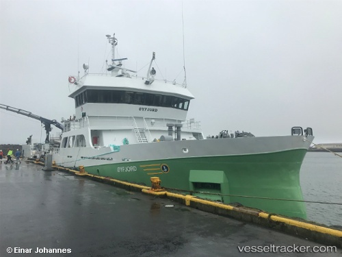
 Ronja Fjord
Current Status
Where is the vessel?
Ronja Fjord is currently in 49 nm S of Skaftafell, based on AIS data received about 2h ago.
Latest AIS update:
Current position: 63.21607° N, 16.62479° W (49 nm S of Skaftafell)
Average speed (last 7 days): Loading…
Average speed (last 30 days): Loading…
Vessel profile: Ronja Fjord is a Fish Carrier with dimensions 69m x 12m.
This page combines live AIS, route history, probable destination signals, nearby traffic, and port activity for practical vessel monitoring.
The current position of vessel Ronja Fjord is 63.21607 lat / -16.62479 lng. Updated: 2026-05-15 01:09:56 UTCNearest reference points:
- Near Höfn, Hornafjørdur
Currently sailing under the flag of Norway ![]()
Ronja Fjord built in 2014 year
Deadweight:
2200 tDetails:
Live Vessel Ronja Fjord Analytics (details, animations, etc.)
Recent AIS points (UTC):
2026-05-14 22:16:13 UTC · 63.16333, -15.42667 · SOG 11 kn · COG -1°2026-05-14 22:50:37 UTC · 63.17513, -15.66585 · SOG 11 kn · COG 277°
2026-05-14 23:44:35 UTC · 63.19099, -16.03689 · SOG 11.3 kn · COG 274°
2026-05-15 01:09:56 UTC · 63.21607, -16.62479 · SOG 11.7 kn · COG 275°