 vesseltracker.com
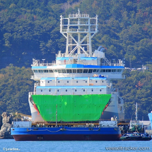
Top Estrela Do Mar
Current StatusWhere is the vessel?
Top Estrela Do Mar is currently in Near PORTO DO ACU, based on AIS data received less than 1h ago.
Latest AIS update:
Current position: 21.87233° S, 41.01083° W (Near PORTO DO ACU)
Average speed (last 7 days): Loading…
Average speed (last 30 days): Loading…
Vessel profile: Top Estrela Do Mar is a Pipe Layer with dimensions 30m x 146m.
This page combines live AIS, route history, probable destination signals, nearby traffic, and port activity for practical vessel monitoring.
The current position of vessel Top Estrela Do Mar is -21.87233 lat / -41.01083 lng. Updated: 2026-05-13 23:38:32 UTCNearest reference points:
- Near PORTO DO ACU
- 24 nm SE of Carapebus
- Near Fluminense FPSO
Details:
Live Vessel Top Estrela Do Mar Analytics (details, animations, etc.)
Recent AIS points (UTC):
2026-05-13 19:56:46 UTC · -21.87283, -41.01133 · SOG 0 kn · COG 149°2026-05-13 21:44:51 UTC · -21.87283, -41.01133 · SOG 0 kn · COG 149°
2026-05-13 22:34:43 UTC · -21.87283, -41.01133 · SOG 0 kn · COG 149°
2026-05-13 23:38:32 UTC · -21.87233, -41.01083 · SOG 0.7 kn · COG 165°