 vesseltracker.com
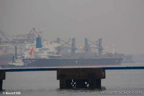
 TELERI M
Current Status
Where is the vessel?
TELERI M is currently in Near NH Prosperity, based on AIS data received about 1h ago.
Latest AIS update:
Current position: 13.20299° N, 100.85014° E (Near NH Prosperity)
Average speed (last 7 days): Loading…
Average speed (last 30 days): Loading…
Vessel profile: TELERI M is a Bulk Carrier with dimensions 32m x 190m.
This page combines live AIS, route history, probable destination signals, nearby traffic, and port activity for practical vessel monitoring.
The current position of vessel TELERI M is 13.20299 lat / 100.85014 lng. Updated: 2026-05-15 17:39:16 UTCNearest reference points:
- Near SIRACHA
- Near Sriracha
- Near KO SICHANG
Currently sailing under the flag of Panama ![]()
TELERI M built in 2013 year
Deadweight:
55851 tDetails:
Live Vessel TELERI M Analytics (details, animations, etc.)
Recent AIS points (UTC):
2026-05-15 14:06:13 UTC · 13.20153, 100.84969 · SOG 0 kn · COG 321°2026-05-15 15:54:13 UTC · 13.20254, 100.85023 · SOG 0 kn · COG 281°
2026-05-15 16:57:14 UTC · 13.20271, 100.85023 · SOG 0.1 kn · COG 273°
2026-05-15 17:39:16 UTC · 13.20299, 100.85014 · SOG 0.1 kn · COG 267°